

The Hiking Apps That Deliver Reliable Trail Maps and Elevation Data When the Signal Disappears
A hiking app isn't just about showing where the trail starts. Once cell service disappears, accurate offline maps, elevation profiles, and dependable GPS tracking become essential tools for staying on course and planning energy for steep climbs.
Today's best hiking apps combine detailed topographic maps, downloadable offline navigation, community trail reports, and elevation tracking to help hikers make better decisions before and during every outing.
For this review, several leading apps available on the US Apple App Store and Google Play Store were evaluated based on:
Trail map quality
Elevation tracking and profiles
Offline navigation
Route planning
Community trail information
Overall usability for day hikes and backcountry adventures
The focus was specifically on hiking trail navigation and elevation tracking rather than general fitness tracking.
AllTrails (iOS & Android)
OS Availability
iOS
Android
The Reality Check: The Best App for Finding and Following Popular Trails
Among all the apps tested, AllTrails remains the easiest recommendation for most hikers.
Its enormous database of more than 500,000 trails, combined with millions of user reviews, photos, and recent trail-condition updates, makes discovering new hikes remarkably simple. Elevation gain, difficulty ratings, route length, and estimated hiking times are clearly presented before heading out. Premium subscribers can download offline maps and receive off-route alerts, which proved particularly valuable when testing trails with limited cell coverage.
Pros
Massive trail database
Excellent community reviews and recent condition reports
Clear elevation profiles
Intuitive interface
Reliable offline navigation with AllTrails+
Cons
Offline maps require a paid subscription
Community-generated information can occasionally become outdated
Better suited to established trails than remote route finding
Pricing
Free version available
AllTrails+ subscription
Best For
Day hikers and travelers looking to discover well-documented trails.
Gaia GPS (iOS & Android)
OS Availability
iOS
Android
The Reality Check: Professional-Grade Navigation for Serious Backcountry Trips
Gaia GPS excels when detailed navigation matters more than trail discovery.
During testing, its extensive collection of topographic maps, satellite imagery, public land overlays, and downloadable offline maps provided significantly more navigational detail than most competitors. Elevation profiles, GPS tracking, and customizable map layers make it especially useful for experienced hikers exploring remote terrain.
Pros
Outstanding topo maps
Advanced elevation and terrain analysis
Extensive offline mapping
Multiple map layers
Excellent route planning
Cons
Steeper learning curve
Premium subscription required for most advanced features
More complex than casual hikers may need
Pricing
Free version available
Premium subscription
Best For
Backcountry hikers and experienced outdoor enthusiasts.
onX Backcountry (iOS & Android)
OS Availability
iOS
Android
The Reality Check: Outstanding Terrain Awareness for Remote Adventures
onX Backcountry stands out by combining trail navigation with detailed land ownership information, 3D terrain visualization, avalanche forecasting in supported areas, and offline maps.
Testing showed that public land boundaries and terrain visualization were especially valuable in remote regions where multiple land jurisdictions intersect. It is particularly strong throughout the United States and Canada.
Pros
Excellent 3D terrain maps
Public and private land boundaries
Offline navigation
Strong U.S. trail coverage
Detailed elevation information
Cons
Subscription required for many core features
Less comprehensive international coverage
Interface requires some familiarization
Pricing
Free version available
Premium and Elite subscriptions
Best For
Remote hiking, backpacking, and public land exploration.
Komoot (iOS & Android)
OS Availability
iOS
Android
The Reality Check: The Best App for Planning Custom Hiking Routes
Komoot approaches hiking differently by emphasizing route creation.
Rather than relying solely on existing trails, it helps users build customized hiking routes based on elevation, trail surfaces, and points of interest. During testing, turn-by-turn voice navigation worked reliably, particularly on longer hikes and multi-day adventures. The app is especially popular among European hikers but performs well worldwide.
Pros
Excellent custom route planning
Turn-by-turn voice navigation
Strong elevation planning tools
Reliable offline maps
Great multi-day planning
Cons
Some offline regions require additional purchases or Premium
Smaller trail community than AllTrails
Better for planned routes than spontaneous discovery
Pricing
Free version available
Optional map purchases
Premium subscription
Best For
Hikers who enjoy designing their own routes.
FarOut (iOS & Android)
OS Availability
iOS
Android
The Reality Check: The Gold Standard for Long-Distance Trails
FarOut specializes in long-distance hiking rather than everyday trail discovery.
During testing, its detailed waypoint information—including water sources, campsites, elevation changes, and user updates—proved invaluable on established long-distance routes. Rather than offering a massive worldwide trail catalog, it focuses on delivering exceptionally detailed guides for major backpacking trails.
Pros
Exceptional long-distance trail guides
Offline functionality
Detailed waypoint information
Reliable elevation profiles
Strong community updates
Cons
Individual trail guides require separate purchases
Limited usefulness for local day hikes
Smaller trail catalog than AllTrails
Pricing
Free app
One-time purchases for individual trail guides
Best For
Thru-hikers and multi-day backpackers.
The Final Verdict
For the vast majority of hikers, AllTrails remains the strongest overall recommendation.
Its unmatched combination of trail discovery, community reviews, detailed elevation profiles, and straightforward navigation makes it the most versatile hiking app for everything from local nature walks to challenging mountain hikes. Premium features such as offline maps and off-route alerts further improve its value for areas with unreliable cell coverage.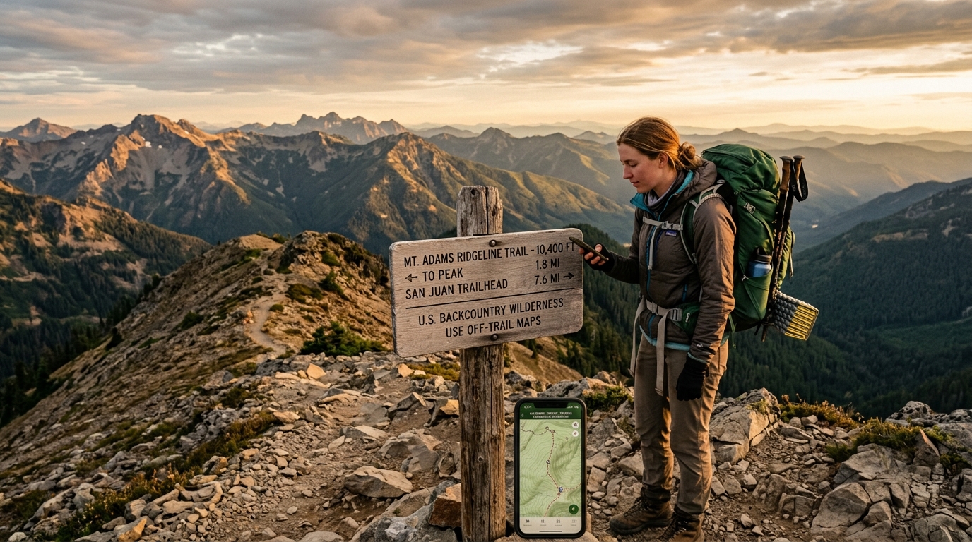
Different hiking styles, however, benefit from different tools:
Best Overall Hiking App: AllTrails
Best for Backcountry Navigation: Gaia GPS
Best for Remote U.S. Terrain: onX Backcountry
Best for Custom Route Planning: Komoot
Best for Long-Distance Backpacking: FarOut
Many experienced hikers carry two apps rather than one. A common combination is AllTrails for researching trails and checking recent conditions before departure, paired with Gaia GPS or onX Backcountry for detailed offline navigation once they're deep into the backcountry. That combination provides both the community insight and navigational precision that serious outdoor adventures demand.