 what3words: Navigation & Maps
3.5


Maps & Navigation
Ratings
Downloads
Age
Advertisement
Advertisement
Name
Category
Price
Safety
Developer
Version
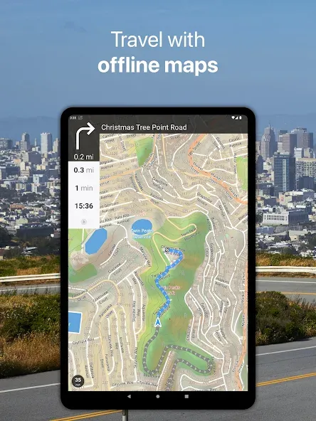
Guru Maps helps you find the best trail and spend some time enjoying the great outdoors like traveling, hiking, biking or off-roading. With detailed maps covering the entire world, offline navigation, and real time GPS tracking, you’ll have everything you need to plan and organize your adventures.
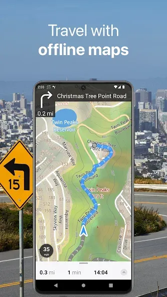
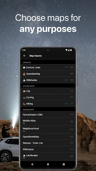
Offline Maps
• High-resolution & based on OpenStreetMap (OSM) data.
• Updated monthly with the most-recent fixes and additions.
• Adjustable font size of the labels for better readability.
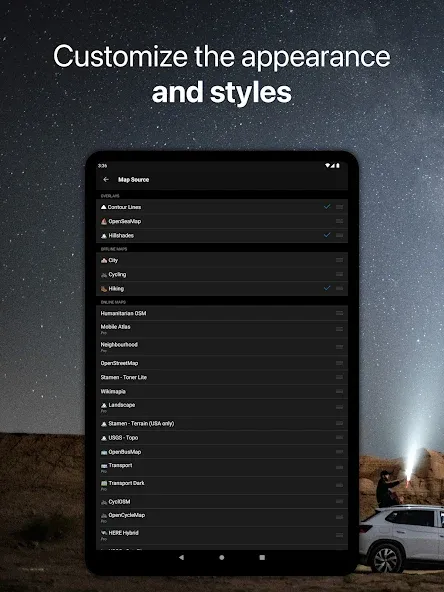
• Multiple custom map layers can be shown above the base one (GeoJSON support).
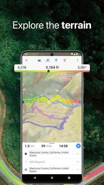
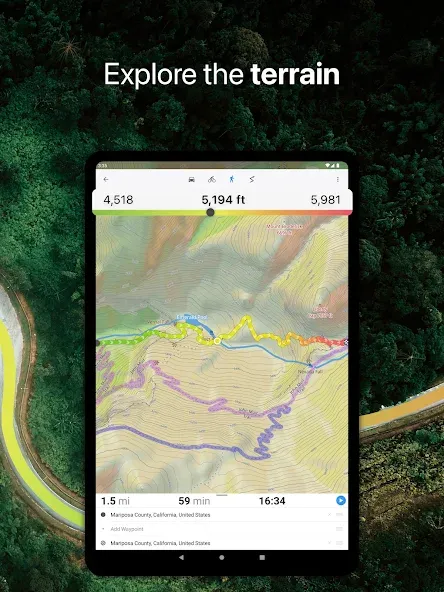
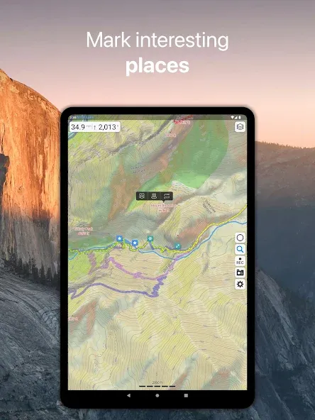
• Hillshade, contour lines and slope overlays for relief visualisation.
Offline Navigation
• Turn-by-turn voice-guided driving directions with alternate ways.
• Multi-stop navigation with the route optimization feature (circuit route planner).
• Voice instructions while navigating available in 9 languages.
• Routes for Driving/Cycling/Walking/Shortest Distance.
• Automatic rerouting gets you back along your way, even offline.
Drive Offroad
• There is an option for choosing the type of bike to build the perfect route, given the pavement (road surface): road, city, touring, mountain (MTB), trekking or gravel bikes.
• Plan an off-road overland trip in your 4x4 vehicle (quad, ATV, UTV, SUV, jeep) or moto, relying on topographic data in order to avoid trickier terrain. Find trails, campsites, adequate gas stations and other destinations along the route, even during an offline mode.
• The trip monitor shows the orientation (compass), accurate speed in mph, km/h or knots units (speedometer), distance (odometer), bearing line and azimuth during the trip. The app collects data from multiple satellites orbiting the Earth.
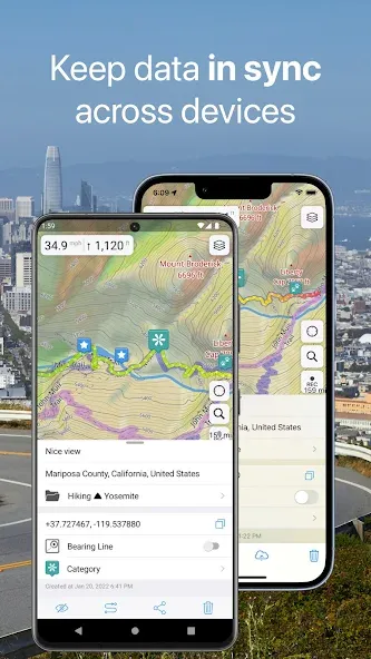
Synchronization
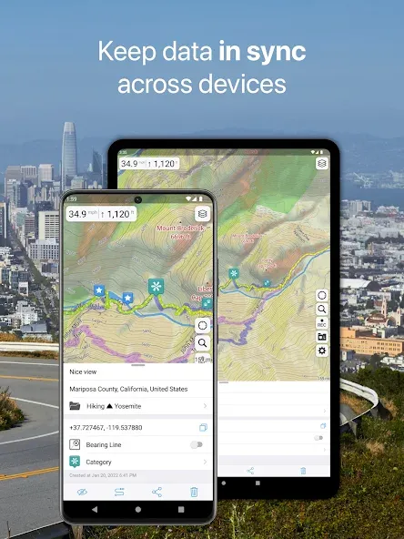
• Seamless sync your data across multiple iOS/Android devices as long as they are authorized with the same account.
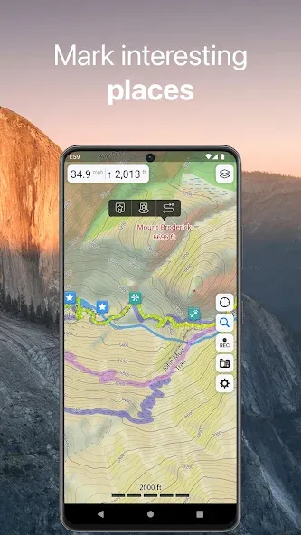
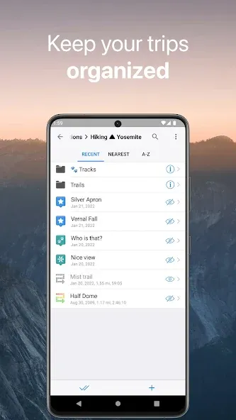
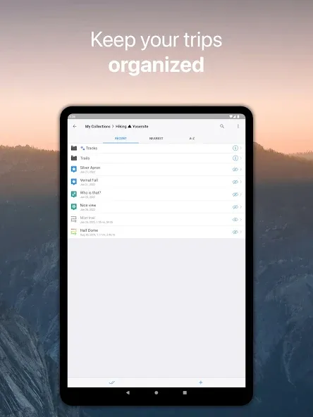
• All the data such as saved places, recorded GPS tracks and created routes will be synced on all your devices on both OS platforms.
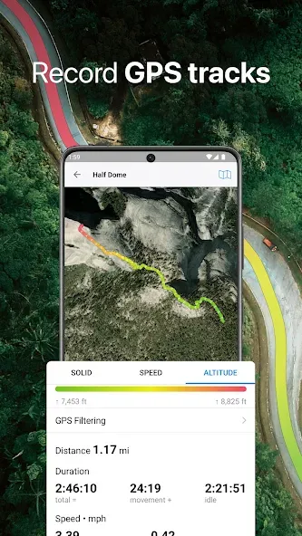
GPS Tracker
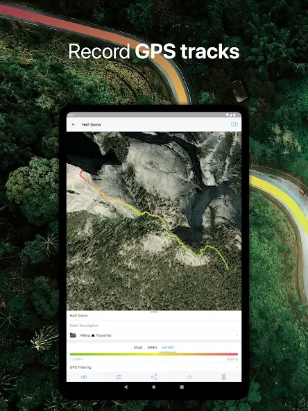
• Track the exact location of your phone & tablet real time.
• Record your footpath even when the app is in the background.
• Monitor detailed statistics of your ride: current speed, distance, time traveled, altitude.
• Choose from seven solid track colors, or altitude and speed gradients.
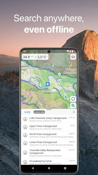
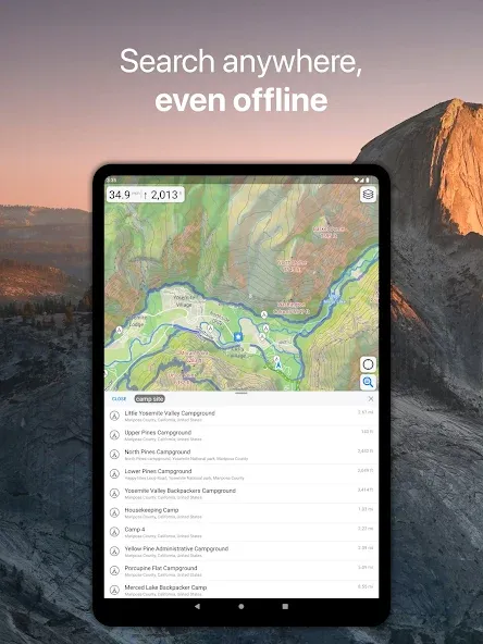
Offline Search
• Incredibly fast – results appear instantly as you type.
• Searches simultaneously in multiple languages, making searching easier than ever.
• Search in a variety of ways – by address, object name, category, or even by GPS coordinates. Supported coordinates formats: MGRS, UTM, Plus codes, DMS, latitude & longitude (decimal degrees (DD), degrees and decimal minutes, sexagesimal degree).
Online Maps
• Pre-installed online map sources: OpenCycleMap, HikeBikeMap, OpenBusMap, Wikimapia, CyclOSM, Mobile Atlas, HERE Hybrid (satellite), USGS - Topo, USGS - Satellite.
• Even more sources available for adding: OpenSeaMap, OpenTopoMap, ArcGIS, Google Maps, Bing, USGS etc from here: https://ms.gurumaps.app.
Supported File Formats
Support for a variety of file formats, including:
.GPX, .KML, .KMZ - for GPS-tracks, markers, routes or whole travel collections,
.MS, .XML - for custom map sources,
.SQLiteDB, .MBTiles - for offline raster maps,
.GeoJSON - for overlays.
Advertisement